
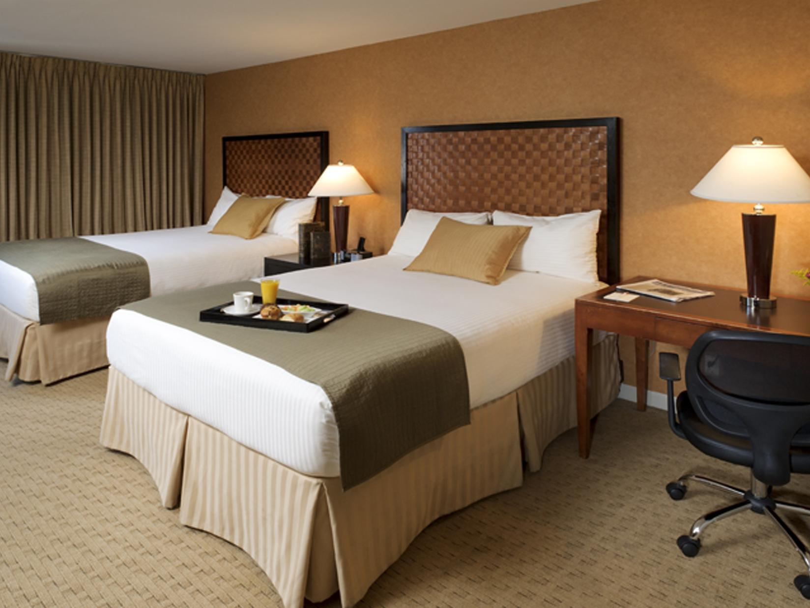
There are 4 ways to get from Passaic River Seaplane Base to Skyline Hotel by train, bus,rideshare, car or plane
Driving
Total time spent: 20 mins
Distance:0.5 mi
Duration:1 min
Head south on Riverside Ave toward W Pierrepont Ave
Distance:0.4 mi
Duration:2 mins
Turn left onto Rutherford Ave
Distance:466 ft
Duration:1 min
Slight left onto the Route 3 E ramp
Distance:5.1 mi
Duration:6 mins
Merge onto NJ-3 E
Distance:2.0 mi
Duration:3 mins
Merge onto NJ-495 E
Distance:0.8 mi
Duration:2 mins
Keep right to stay on NJ-495 E
Distance:0.8 mi
Duration:2 mins
Continue onto NY-495 E
Distance:223 ft
Duration:1 min
Take the exit on the left toward 42 St/
Distance:0.2 mi
Duration:1 min
Continue onto Dyer Ave
Distance:486 ft
Duration:1 min
Turn left onto W 42nd St
Distance:0.4 mi
Duration:2 mins
Turn right at the 1st cross street onto 10th Ave
Walking
Total time spent: 4 hours 56 mins
Distance:171 ft
Duration:1 min
Head north on Riverside Ave toward W Newell Ave
Distance:0.6 mi
Duration:13 mins
Turn right onto W Newell Ave
Distance:0.6 mi
Duration:11 mins
Turn left onto Park Ave
Distance:184 ft
Duration:1 min
Turn left onto Ames Ave
Distance:243 ft
Duration:1 min
Turn right toward Erie Ave
Distance:207 ft
Duration:1 min
Turn right toward Erie Ave
Distance:62 ft
Duration:1 min
Turn right onto Erie Ave
Distance:0.4 mi
Duration:8 mins
Turn left onto Park Ave
Distance:0.3 mi
Duration:5 mins
Turn right onto Paterson Ave
Distance:0.1 mi
Duration:2 mins
Turn left onto Jane St
Distance:0.6 mi
Duration:13 mins
Continue onto 8th St
Distance:0.3 mi
Duration:6 mins
Continue onto Jefferson St
Distance:1.2 mi
Duration:23 mins
Turn right onto Moonachie Ave
Distance:1.4 mi
Duration:28 mins
Turn left onto Redneck Ave
Distance:0.3 mi
Duration:5 mins
Turn left onto Liberty St
Distance:0.5 mi
Duration:10 mins
Turn right onto Sylvan Ave
Distance:0.4 mi
Duration:8 mins
Continue onto Winant Ave
Distance:443 ft
Duration:1 min
Turn right onto Main St
Distance:0.1 mi
Duration:3 mins
Turn left to stay on Main St
Distance:1.0 mi
Duration:20 mins
Turn left onto Bergen Turnpike
Distance:0.5 mi
Duration:11 mins
Continue onto Hendricks Causeway
Distance:213 ft
Duration:1 min
Continue onto Broad St Cir
Distance:1.0 mi
Duration:20 mins
Turn right onto Broad Ave
Distance:0.2 mi
Duration:6 mins
Turn left onto Prospect Ave
Distance:0.6 mi
Duration:13 mins
Turn right onto Fairview Ave
Distance:0.5 mi
Duration:9 mins
Continue onto Woodcliff Ave
Distance:1.0 mi
Duration:19 mins
Continue onto Boulevard E
Distance:0.2 mi
Duration:5 mins
Turn left onto Ferry Rd
Distance:371 ft
Duration:2 mins
Turn right onto River Rd
Distance:0.5 mi
Duration:10 mins
Continue onto Port Imperial Blvd
Distance:443 ft
Duration:2 mins
Turn left onto Riverwalk Pl
Distance:0.4 mi
Duration:9 mins
Turn right onto Ave at Port Imperial
Distance:154 ft
Duration:1 min
Turn left
Distance:138 ft
Duration:1 min
Turn left
Distance:200 ft
Duration:1 min
Turn left
Distance:1.4 mi
Duration:11 mins
Take the Midtown/
Distance:20 ft
Duration:1 min
Turn left
Distance:95 ft
Duration:1 min
Slight right
Distance:0.1 mi
Duration:3 mins
Turn left
Distance:144 ft
Duration:1 min
Turn right onto W 42nd St
Distance:0.1 mi
Duration:2 mins
Turn left onto 12th Ave
Distance:0.3 mi
Duration:6 mins
Turn right onto W 44th St
Distance:0.3 mi
Duration:5 mins
Turn left onto 10th Ave
Bicycling
Total time spent: 1 hour 46 mins
Distance:0.2 mi
Duration:1 min
Head north on Riverside Ave toward W Newell Ave
Distance:0.4 mi
Duration:3 mins
Continue onto Jackson Ave
Distance:1.0 mi
Duration:5 mins
Turn right onto Union Ave
Distance:338 ft
Duration:1 min
Turn right onto Erie Ave
Distance:308 ft
Duration:1 min
At the traffic circle, take the 3rd exit onto E Erie Ave
Distance:0.4 mi
Duration:2 mins
Slight right onto Park Ave
Distance:492 ft
Duration:1 min
Turn right onto Paterson Ave
Distance:1.2 mi
Duration:9 mins
Turn left onto Hackensack St
Distance:1.9 mi
Duration:9 mins
Turn right onto Moonachie Ave
Distance:0.9 mi
Duration:5 mins
Turn left onto Moonachie Rd
Distance:0.1 mi
Duration:1 min
Continue onto Liberty St
Distance:0.6 mi
Duration:3 mins
Turn right onto Washington Ave
Distance:0.1 mi
Duration:1 min
Turn left onto N Washington Ave
Distance:0.2 mi
Duration:1 min
N Washington Ave turns slightly left and becomes Bergen Turnpike
Distance:0.4 mi
Duration:3 mins
Turn right onto Winant Ave
Distance:443 ft
Duration:1 min
Turn right onto Main St
Distance:0.1 mi
Duration:1 min
Turn left to stay on Main St
Distance:1.0 mi
Duration:5 mins
Turn left onto Bergen Turnpike
Distance:0.4 mi
Duration:2 mins
Turn left onto Edgewater Ave W
Distance:0.9 mi
Duration:4 mins
Edgewater Ave W turns right and becomes Railroad Ave
Distance:112 ft
Duration:1 min
Turn right onto Broad Ave
Distance:0.1 mi
Duration:2 mins
Turn left onto Franklin Ave
Distance:0.3 mi
Duration:2 mins
Turn right onto Sedore Ave
Distance:0.9 mi
Duration:9 mins
Turn left onto Fairview Ave
Distance:0.5 mi
Duration:3 mins
Continue onto Woodcliff Ave
Distance:0.3 mi
Duration:1 min
Continue onto Boulevard E
Distance:0.2 mi
Duration:2 mins
Slight left onto Bulls Ferry Rd
Distance:0.7 mi
Duration:3 mins
Turn right onto River Rd
Distance:344 ft
Duration:1 min
Turn left
Distance:233 ft
Duration:1 min
Slight right
Distance:1.3 mi
Duration:6 mins
Turn left
Distance:128 ft
Duration:1 min
Turn left
Distance:138 ft
Duration:1 min
Turn left
Distance:200 ft
Duration:1 min
Turn left
Distance:1.4 mi
Duration:10 mins
Take the Midtown/
Distance:20 ft
Duration:1 min
Turn left toward 12th Ave/
Distance:381 ft
Duration:1 min
Turn right toward 12th Ave/
Distance:82 ft
Duration:1 min
Make a U-turn at 12th Ave
Distance:0.4 mi
Duration:2 mins
Turn right onto 12th Ave/
Distance:0.3 mi
Duration:3 mins
Turn right onto W 48th St
Distance:341 ft
Duration:1 min
Turn left onto 10th Ave
Transit
Total time spent: 1 hour 0 mins
Distance:0.7 mi
Duration:13 mins
Walk to Union Ave At Jackson Ave
Distance:11.8 mi
Duration:30 mins
Bus towards New York Via Secaucus & Union City
Distance:0.8 mi
Duration:16 mins
Walk to 725 10th Ave, New York, NY 10019, USA
Questions & Answers
The cheapest way to get from Passaic River Seaplane Base to Skyline Hotel is to walking which costs $0 and takes 4 hours 56 mins.
The fastest way to get from Passaic River Seaplane Base to Skyline Hotel is to driving. Taking this option will takes 20 mins.
No,there is no direct bus departing from Passaic River Seaplane Base to Skyline Hotel,you may have to walk for a while.The journey takes approximately 1 hour 0 mins.
No, there is no direct train departing from Passaic River Seaplane Base to Skyline Hotel. you may have to driving,this way will takes 20 mins.
The road distance between Passaic River Seaplane Base to Skyline Hotel is 10.4 mi.
The best way to get from Passaic River Seaplane Base to Skyline Hotel without a car is to transit which takes 1 hour 0 mins.
The driving from Passaic River Seaplane Base to Skyline Hotel takes 20 mins.
Passaic River Seaplane Base to Skyline Hotel bus services, depart from Union Ave At Jackson Ave station.
You can drive from Passaic River Seaplane Base to Skyline Hotel,which takes 20 mins.
The best way to get from Passaic River Seaplane Base to Skyline Hotel is to driving which takes 20 mins.