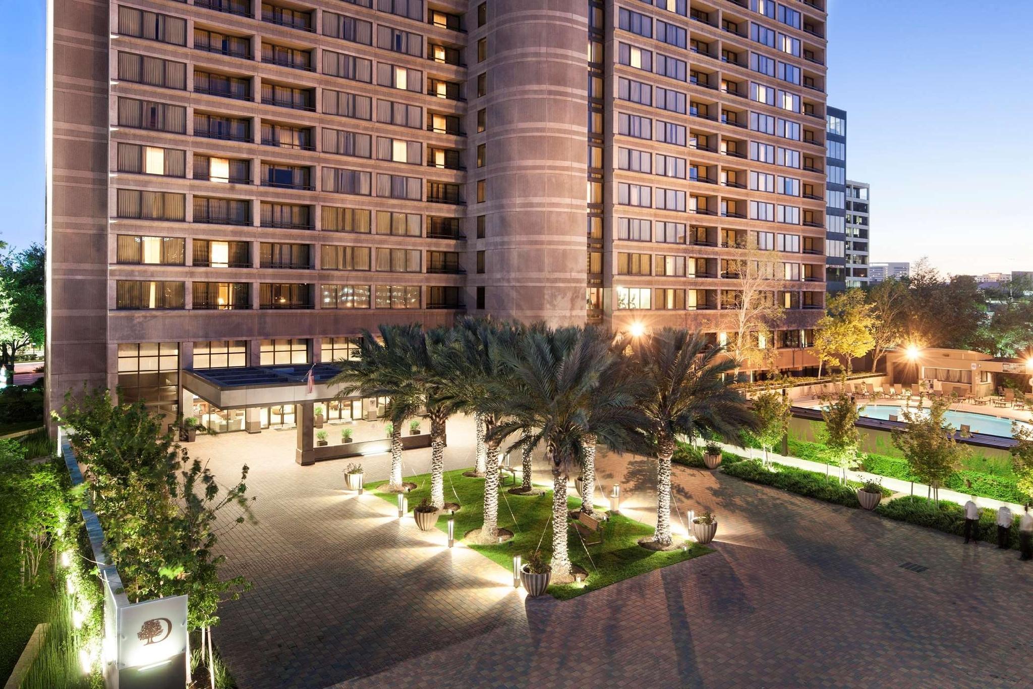
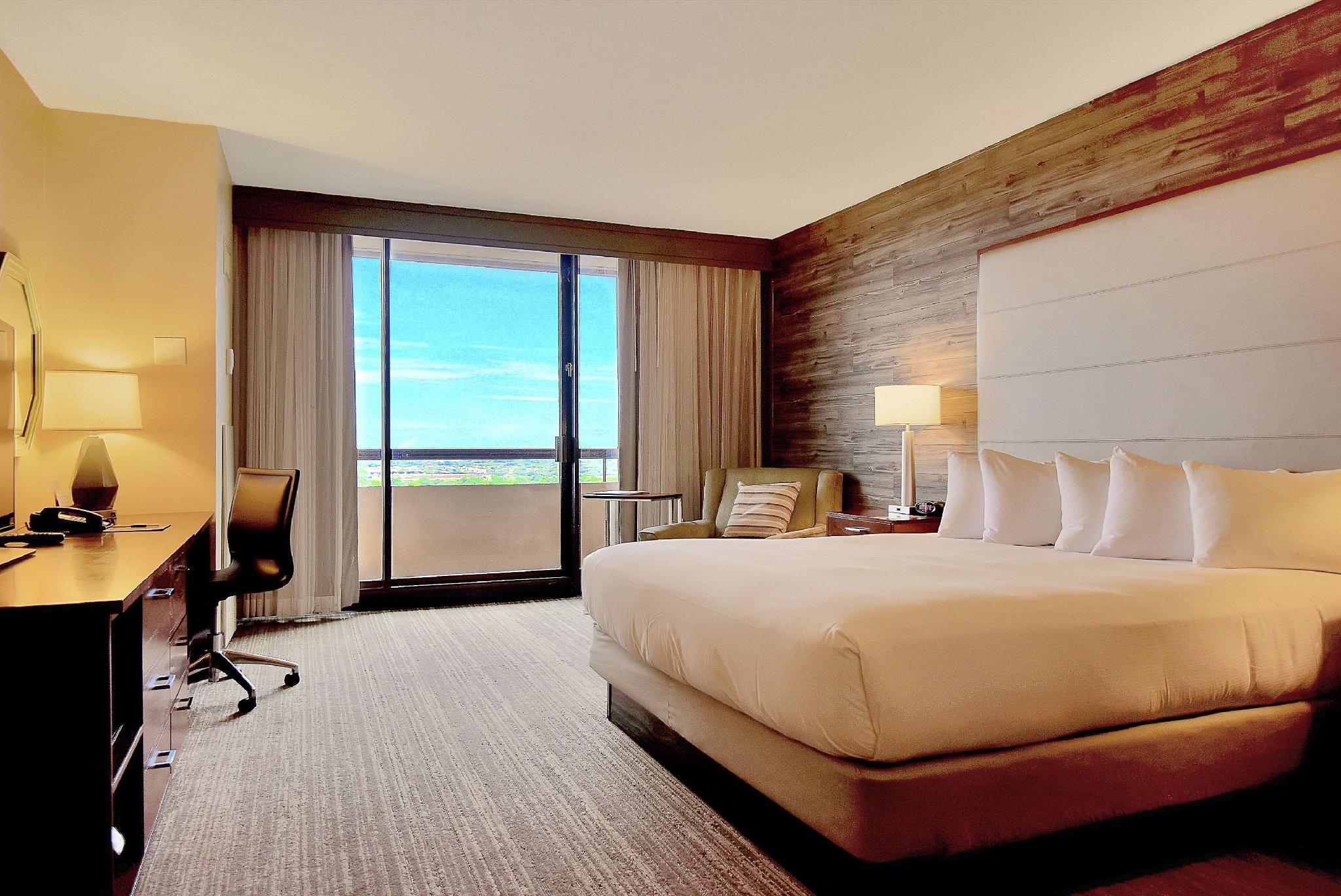
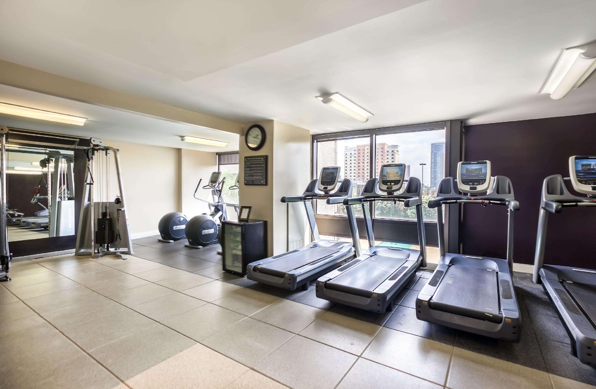
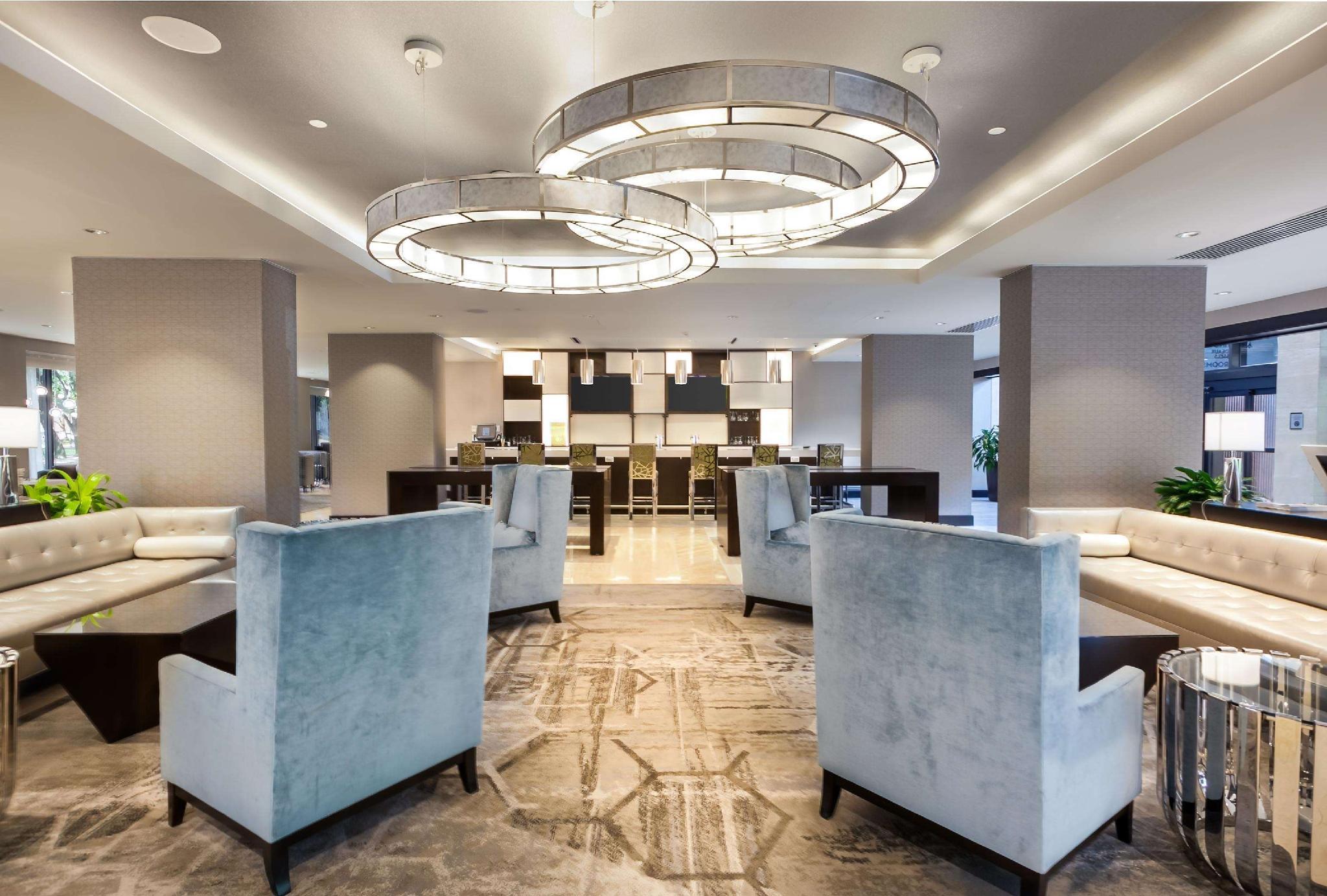
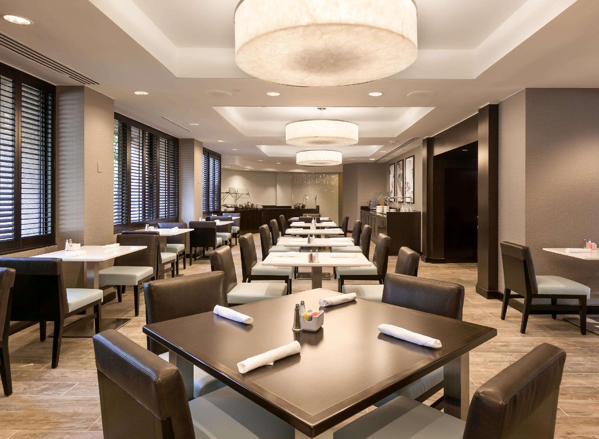
There are 3 ways to get from Laseair Airport to DoubleTree by Hilton Hotel and Suites Houston by the Galleria by train, bus,rideshare, car or plane
Driving
Total time spent: 50 mins
Distance:295 ft
Duration:1 min
Head west toward N Humble Camp Rd
Distance:1.5 mi
Duration:3 mins
Turn left onto N Humble Camp Rd
Distance:0.3 mi
Duration:1 min
N Humble Camp Rd turns right and becomes Humble Camp Ext Rd
Distance:0.4 mi
Duration:1 min
Turn left onto Hughes Rd
Distance:0.9 mi
Duration:2 mins
Turn right onto State Hwy 3 N
Distance:1.7 mi
Duration:4 mins
Turn left onto FM517 W
Distance:0.1 mi
Duration:1 min
Turn right onto Gulf Fwy
Distance:10.6 mi
Duration:9 mins
Take the ramp on the left onto I-45 N
Distance:14.2 mi
Duration:14 mins
Keep right at the fork to stay on I-45 N
Distance:0.9 mi
Duration:1 min
Take exit 45 toward Cleveland/
Distance:0.9 mi
Duration:1 min
Keep left at the fork to continue toward State Hwy 288 S
Distance:0.5 mi
Duration:1 min
Keep left at the fork, follow signs for Texas 288 S/
Distance:0.5 mi
Duration:1 min
Continue onto State Hwy 288 S
Distance:5.3 mi
Duration:6 mins
Take the exit onto I-69/
Distance:0.1 mi
Duration:1 min
Take exit 123 for I-610 S/
Distance:0.4 mi
Duration:1 min
Keep right at the fork to continue toward W Loop S
Distance:0.5 mi
Duration:1 min
Keep right to continue on Exit 8C, follow signs for F.M. 1093/
Distance:0.7 mi
Duration:3 mins
Turn left onto Westheimer Rd
Distance:233 ft
Duration:1 min
Turn left onto Quarters Ct
Walking
Total time spent: 15 hours 27 mins
Distance:295 ft
Duration:1 min
Head west toward N Humble Camp Rd
Distance:0.3 mi
Duration:7 mins
Turn left onto N Humble Camp Rd
Distance:1.0 mi
Duration:21 mins
Turn left onto Wetzel Rd
Distance:0.4 mi
Duration:7 mins
Turn right to stay on Wetzel Rd
Distance:1.9 mi
Duration:37 mins
Continue onto Century Blvd
Distance:341 ft
Duration:1 min
Turn right onto Mall of Mainland Pkwy
Distance:0.2 mi
Duration:4 mins
Turn left to stay on Mall of Mainland Pkwy
Distance:0.1 mi
Duration:3 mins
Continue straight to stay on Mall of Mainland Pkwy
Distance:489 ft
Duration:2 mins
Turn left toward Emmett F Lowry Expy
Distance:0.3 mi
Duration:5 mins
Slight right onto Emmett F Lowry Expy
Distance:4.1 mi
Duration:1 hour 21 mins
Turn left onto FM1764 W/
Distance:3.7 mi
Duration:1 hour 12 mins
Turn right onto FM646 N
Distance:1.5 mi
Duration:30 mins
Slight left onto FM646 S
Distance:75 ft
Duration:1 min
Turn left
Distance:39 ft
Duration:1 min
Turn right
Distance:0.3 mi
Duration:5 mins
Slight left
Distance:75 ft
Duration:1 min
Turn right toward Gulf Fwy S
Distance:4.8 mi
Duration:1 hour 35 mins
Turn left onto Gulf Fwy S
Distance:331 ft
Duration:1 min
Turn right onto Gulf Fwy
Distance:8.8 mi
Duration:2 hours 55 mins
Turn left to stay on Gulf Fwy
Distance:0.2 mi
Duration:4 mins
Turn right
Distance:0.2 mi
Duration:4 mins
Turn left onto Almeda Genoa Rd
Distance:5.0 mi
Duration:1 hour 41 mins
Turn right onto Gulf Fwy
Distance:335 ft
Duration:1 min
Turn left onto Park Pl Blvd
Distance:1.1 mi
Duration:22 mins
Turn right onto Gulf Fwy
Distance:0.1 mi
Duration:2 mins
Turn left onto S Loop E Service Rd
Distance:1.9 mi
Duration:38 mins
Turn right onto Gulf Freeway Srv Rd/
Distance:128 ft
Duration:1 min
Turn left toward Gulf Fwy
Distance:102 ft
Duration:1 min
Turn right at Wayside Dr
Distance:85 ft
Duration:1 min
Turn right toward Gulf Fwy
Distance:72 ft
Duration:1 min
Slight left toward Gulf Fwy
Distance:66 ft
Duration:1 min
Turn right toward Gulf Fwy
Distance:1.3 mi
Duration:28 mins
Turn left onto Gulf Fwy
Distance:0.1 mi
Duration:2 mins
Slight right toward Gulf Fwy
Distance:476 ft
Duration:2 mins
Slight left onto Gulf Fwy
Distance:184 ft
Duration:1 min
Slight left onto S Lockwood Dr
Distance:39 ft
Duration:1 min
Turn right onto Spur 5
Distance:3.0 mi
Duration:1 hour 3 mins
Turn left onto Elgin St/
Distance:2.1 mi
Duration:43 mins
Continue onto Westheimer Rd
Distance:3.2 mi
Duration:1 hour 5 mins
Slight left to stay on Westheimer Rd
Distance:135 ft
Duration:1 min
Turn left onto Quarters Ct
Bicycling
Total time spent: 3 hours 28 mins
Distance:302 ft
Duration:1 min
Head northeast toward N Humble Camp Rd
Distance:1.5 mi
Duration:7 mins
Turn left onto N Humble Camp Rd
Distance:0.3 mi
Duration:1 min
N Humble Camp Rd turns right and becomes Humble Camp Ext Rd
Distance:0.4 mi
Duration:2 mins
Turn left onto Hughes Rd
Distance:19.4 mi
Duration:1 hour 38 mins
Turn right onto State Hwy 3 N
Distance:2.0 mi
Duration:10 mins
Continue onto Galveston Rd
Distance:39 ft
Duration:1 min
Turn right
Distance:0.7 mi
Duration:3 mins
Turn left
Distance:30 ft
Duration:1 min
Turn left onto Central St
Distance:0.7 mi
Duration:4 mins
Turn right onto Galveston Rd
Distance:0.3 mi
Duration:2 mins
Turn right onto Broadway St
Distance:0.2 mi
Duration:1 min
Turn left onto La Porte Fwy
Distance:2.2 mi
Duration:11 mins
Turn left onto Lawndale St
Distance:0.2 mi
Duration:1 min
Turn right onto Villa De Matel Rd
Distance:0.6 mi
Duration:3 mins
Turn left onto Jefferson St
Distance:0.2 mi
Duration:1 min
Turn right onto Collier St
Distance:2.6 mi
Duration:16 mins
Turn left onto Polk St
Distance:1.1 mi
Duration:6 mins
Turn right onto Lamar St
Distance:492 ft
Duration:1 min
Turn right
Distance:39 ft
Duration:1 min
Slight right
Distance:0.1 mi
Duration:1 min
Turn left
Distance:0.2 mi
Duration:2 mins
Continue onto Buffalo Bayou Walk
Distance:0.1 mi
Duration:1 min
Continue onto Buffalo Bayou Bike Trail
Distance:0.6 mi
Duration:3 mins
Slight left at Carruth Pedestrian Brg
Distance:0.2 mi
Duration:1 min
Continue straight
Distance:128 ft
Duration:1 min
Turn left toward Allen Pkwy
Distance:0.5 mi
Duration:3 mins
Turn right onto Allen Pkwy
Distance:0.1 mi
Duration:1 min
Turn left onto Dunlavy St
Distance:0.4 mi
Duration:2 mins
Turn right onto W Dallas St
Distance:0.6 mi
Duration:3 mins
Continue onto Chilton Rd
Distance:0.9 mi
Duration:5 mins
Turn right onto Inwood Dr
Distance:0.2 mi
Duration:1 min
Turn left onto Mockingbird Ln
Distance:0.6 mi
Duration:3 mins
Turn right onto Chevy Chase Dr
Distance:0.1 mi
Duration:1 min
Turn left onto Willowick Rd
Distance:0.8 mi
Duration:4 mins
Turn right onto San Felipe St
Distance:0.4 mi
Duration:2 mins
Turn left onto Westcreek Ln
Distance:0.9 mi
Duration:6 mins
Turn right onto Westheimer Rd
Distance:233 ft
Duration:1 min
Slight left onto Quarters Ct
Questions & Answers
The cheapest way to get from Laseair Airport to DoubleTree by Hilton Hotel and Suites Houston by the Galleria is to walking which costs $0 and takes 15 hours 27 mins.
The fastest way to get from Laseair Airport to DoubleTree by Hilton Hotel and Suites Houston by the Galleria is to driving. Taking this option will takes 50 mins.
No,there is no direct bus departing from Laseair Airport to DoubleTree by Hilton Hotel and Suites Houston by the Galleria,you may have to walk for a while.The journey takes approximately .
No, there is no direct train departing from Laseair Airport to DoubleTree by Hilton Hotel and Suites Houston by the Galleria. you may have to driving,this way will takes 50 mins.
The road distance between Laseair Airport to DoubleTree by Hilton Hotel and Suites Houston by the Galleria is 39.6 mi.
The best way to get from Laseair Airport to DoubleTree by Hilton Hotel and Suites Houston by the Galleria without a car is to bicycling which takes 3 hours 28 mins.
The driving from Laseair Airport to DoubleTree by Hilton Hotel and Suites Houston by the Galleria takes 50 mins.
No, there is no bus from Laseair Airport to DoubleTree by Hilton Hotel and Suites Houston by the Galleria.
You can drive from Laseair Airport to DoubleTree by Hilton Hotel and Suites Houston by the Galleria,which takes 50 mins.
The best way to get from Laseair Airport to DoubleTree by Hilton Hotel and Suites Houston by the Galleria is to driving which takes 50 mins.
