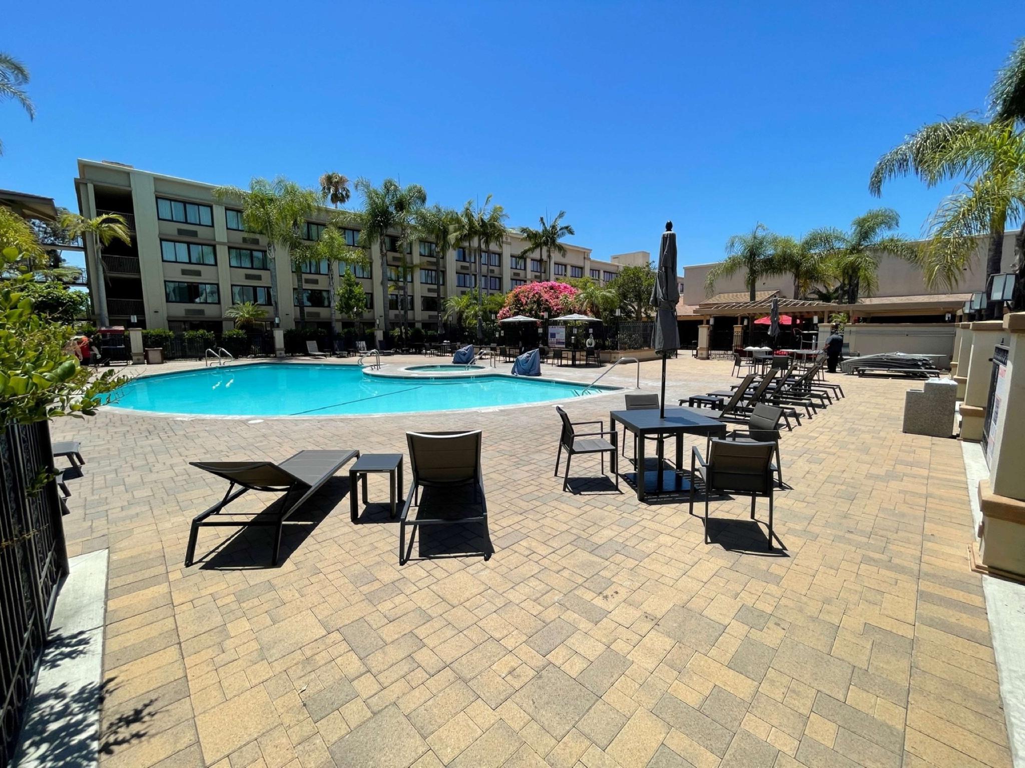
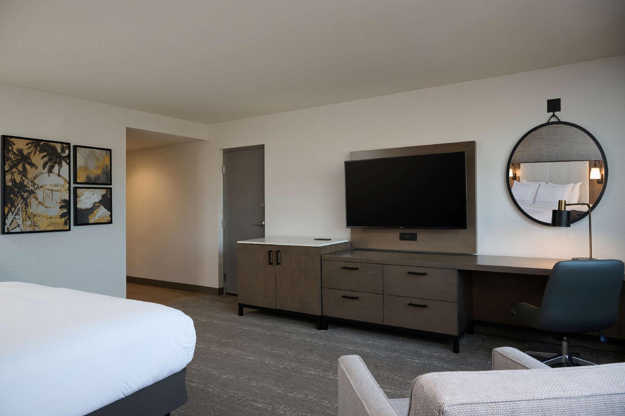
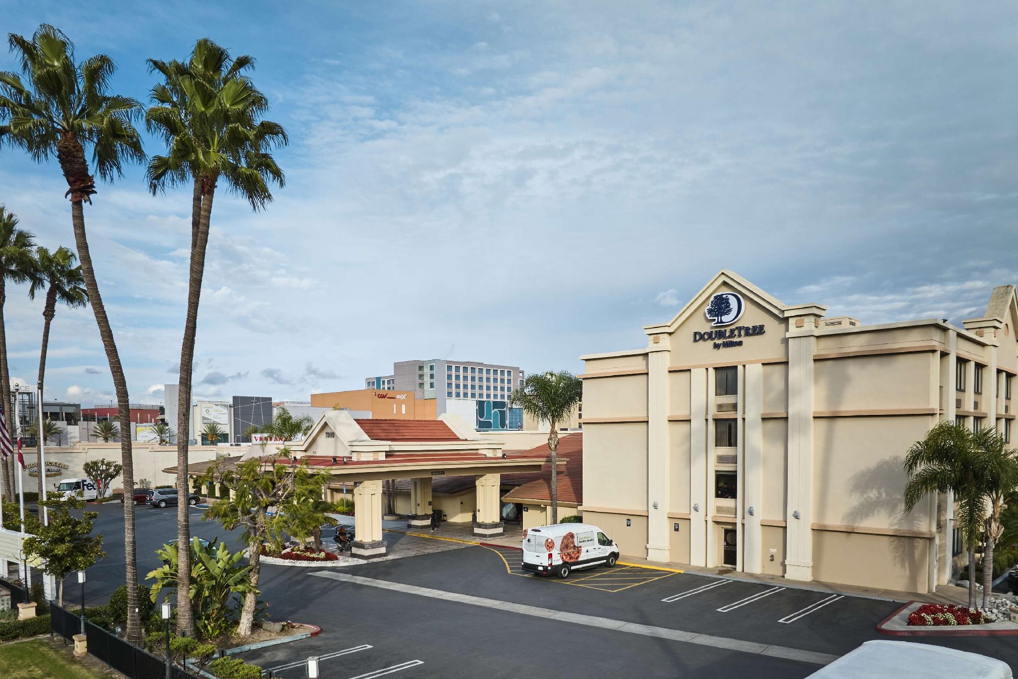
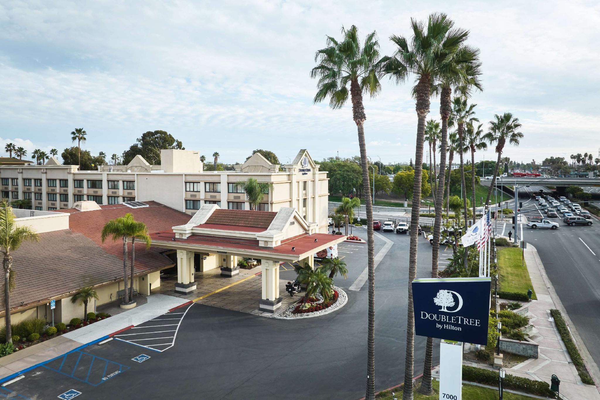
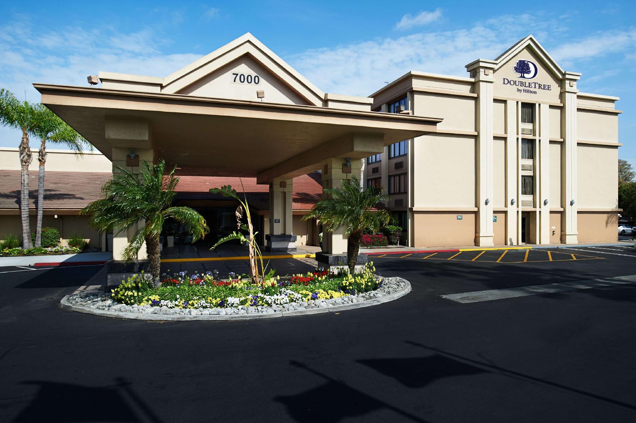
There are 4 ways to get from Crowne Plaza Los Angeles Airport Hotel Helipad to Doubletree by Hilton Buena Park by train, bus,rideshare, car or plane
Driving
Total time spent: 33 mins
Distance:115 ft
Duration:1 min
Head south toward W Century Blvd
Distance:0.2 mi
Duration:1 min
Turn right onto W Century Blvd
Distance:0.2 mi
Duration:1 min
Slight right to stay on W Century Blvd
Distance:0.8 mi
Duration:2 mins
Turn left onto S Sepulveda Blvd
Distance:17.1 mi
Duration:18 mins
Take the ramp onto I-105 E
Distance:2.7 mi
Duration:3 mins
Take the exit onto I-605 S
Distance:6.8 mi
Duration:7 mins
Take exit 7A to merge onto CA-91 E
Distance:0.2 mi
Duration:1 min
Take exit 23B for Beach Blvd/
Distance:0.2 mi
Duration:1 min
Turn left onto State Hwy 39 N/
Distance:95 ft
Duration:1 min
Turn right
Distance:85 ft
Duration:1 min
Turn right
Distance:39 ft
Duration:1 min
Keep left
Walking
Total time spent: 8 hours 55 mins
Distance:115 ft
Duration:1 min
Head south toward W Century Blvd
Distance:7.1 mi
Duration:2 hours 26 mins
Turn left onto W Century Blvd
Distance:0.1 mi
Duration:3 mins
Turn right onto E Century Blvd
Distance:1.3 mi
Duration:25 mins
Turn left onto E 103rd St
Distance:0.2 mi
Duration:4 mins
Turn right onto Graham Ave
Distance:1.1 mi
Duration:22 mins
Slight left onto Santa Ana Blvd N
Distance:0.3 mi
Duration:7 mins
Continue onto Fernwood Ave
Distance:1.7 mi
Duration:35 mins
Turn left onto Imperial Hwy.
Distance:0.7 mi
Duration:14 mins
Slight right to stay on Imperial Hwy.
Distance:1.2 mi
Duration:24 mins
Turn right to stay on Imperial Hwy.
Distance:246 ft
Duration:1 min
Turn right toward Hidalgo St
Distance:39 ft
Duration:1 min
Turn right toward Hidalgo St
Distance:135 ft
Duration:1 min
Turn left toward Hidalgo St
Distance:105 ft
Duration:1 min
Turn right onto Hidalgo St
Distance:456 ft
Duration:2 mins
Turn left toward Erickson Ave
Distance:0.1 mi
Duration:2 mins
Turn left onto Erickson Ave
Distance:0.1 mi
Duration:3 mins
Turn right onto Harriman St
Distance:135 ft
Duration:1 min
Continue onto Dahlia Ave
Distance:59 ft
Duration:1 min
Turn right toward Rives Ave
Distance:240 ft
Duration:1 min
Turn right onto Rives Ave
Distance:0.2 mi
Duration:5 mins
Turn left onto Imperial Hwy.
Distance:1.7 mi
Duration:36 mins
Slight left to stay on Imperial Hwy.
Distance:46 ft
Duration:1 min
Turn right onto Bellflower Blvd
Distance:2.0 mi
Duration:41 mins
Turn left onto Imperial Hwy.
Distance:0.3 mi
Duration:6 mins
Slight right onto Firestone Blvd
Distance:0.7 mi
Duration:13 mins
Slight right to stay on Firestone Blvd
Distance:0.8 mi
Duration:16 mins
Slight right to stay on Firestone Blvd
Distance:141 ft
Duration:1 min
Turn right to stay on Firestone Blvd
Distance:312 ft
Duration:1 min
Continue onto Bloomfield Ave
Distance:1.4 mi
Duration:30 mins
Turn left onto Rosecrans Ave
Distance:0.5 mi
Duration:10 mins
Slight right to stay on Rosecrans Ave
Distance:413 ft
Duration:2 mins
Slight right to stay on Rosecrans Ave
Distance:0.2 mi
Duration:5 mins
Turn right onto Valley View Ave
Distance:0.2 mi
Duration:3 mins
Turn left
Distance:1.1 mi
Duration:23 mins
Slight left onto Stage Rd
Distance:148 ft
Duration:1 min
Sharp left toward Stage Rd
Distance:0.9 mi
Duration:18 mins
Turn left onto Stage Rd
Distance:1.0 mi
Duration:21 mins
Turn right onto Beach Blvd
Distance:121 ft
Duration:1 min
Turn left onto Auto Center Dr
Distance:144 ft
Duration:1 min
Turn right toward Beach Blvd
Distance:0.6 mi
Duration:13 mins
Slight left onto Beach Blvd
Distance:95 ft
Duration:1 min
Turn left
Distance:85 ft
Duration:1 min
Turn right
Distance:39 ft
Duration:1 min
Turn left
Bicycling
Total time spent: 2 hours 39 mins
Distance:0.1 mi
Duration:1 min
Head north toward W 98th St
Distance:0.2 mi
Duration:1 min
Turn right onto W 98th St
Distance:0.1 mi
Duration:1 min
Turn right onto Airport Blvd
Distance:0.4 mi
Duration:3 mins
Turn left onto W Century Blvd
Distance:0.8 mi
Duration:4 mins
Turn right onto Aviation Blvd
Distance:0.4 mi
Duration:2 mins
Turn left onto W 111th St
Distance:0.3 mi
Duration:1 min
Turn right onto Hindry Ave
Distance:1.1 mi
Duration:7 mins
Turn left onto Imperial Hwy.
Distance:1.0 mi
Duration:5 mins
Turn right after El Pollo Loco (on the left)
Distance:5.9 mi
Duration:34 mins
Turn left onto W El Segundo Blvd
Distance:0.8 mi
Duration:4 mins
Turn right
Distance:0.6 mi
Duration:4 mins
Continue straight
Distance:0.1 mi
Duration:1 min
Turn right onto N Wilmington Ave
Distance:0.1 mi
Duration:1 min
Turn left onto W Compton Blvd
Distance:0.8 mi
Duration:4 mins
Turn right
Distance:105 ft
Duration:1 min
Turn right onto S Oleander Ave
Distance:49 ft
Duration:1 min
Turn left onto W Reeve St
Distance:0.4 mi
Duration:2 mins
Turn right
Distance:1.1 mi
Duration:6 mins
Turn left onto W Greenleaf Blvd
Distance:0.5 mi
Duration:3 mins
Turn right onto N Long Beach Blvd
Distance:1.5 mi
Duration:8 mins
Turn left onto E Artesia Blvd
Distance:1.0 mi
Duration:5 mins
Turn right onto Orange Ave
Distance:4.4 mi
Duration:24 mins
Turn left onto E South St
Distance:187 ft
Duration:1 min
Turn right
Distance:0.2 mi
Duration:1 min
Turn left at San Gabriel River Mid Trail
Distance:75 ft
Duration:1 min
Turn left
Distance:240 ft
Duration:1 min
Turn left
Distance:0.1 mi
Duration:1 min
Slight right
Distance:2.8 mi
Duration:15 mins
Turn left onto 195th St
Distance:102 ft
Duration:1 min
Sharp right onto Coyote Creek Bikeway
Distance:0.6 mi
Duration:3 mins
Turn left to stay on Coyote Creek Bikeway
Distance:0.2 mi
Duration:1 min
Slight right to stay on Coyote Creek Bikeway
Distance:213 ft
Duration:1 min
Slight left to stay on Coyote Creek Bikeway
Distance:0.6 mi
Duration:4 mins
Turn right onto Orangethorpe Ave
Distance:2.1 mi
Duration:13 mins
Slight right to stay on Orangethorpe Ave
Distance:292 ft
Duration:1 min
Turn right
Distance:348 ft
Duration:1 min
Turn right
Distance:39 ft
Duration:1 min
Turn left
Transit
Total time spent: 2 hours 9 mins
Distance:0.2 mi
Duration:3 mins
Walk to Century / Avion
Distance:13.4 mi
Duration:45 mins
Bus towards Downtown LA - 7th - Broadway
Distance:0.4 mi
Duration:9 mins
Walk to 37th Street/USC
Distance:27.4 mi
Duration:58 mins
Bus towards Disneyland
Distance:0.2 mi
Duration:4 mins
Walk to 7000 Beach Blvd, Buena Park, CA 90620, USA
Questions & Answers
The cheapest way to get from Crowne Plaza Los Angeles Airport Hotel Helipad to Doubletree by Hilton Buena Park is to walking which costs $0 and takes 8 hours 55 mins.
The fastest way to get from Crowne Plaza Los Angeles Airport Hotel Helipad to Doubletree by Hilton Buena Park is to driving. Taking this option will takes 33 mins.
No,there is no direct bus departing from Crowne Plaza Los Angeles Airport Hotel Helipad to Doubletree by Hilton Buena Park,you may have to walk for a while.The journey takes approximately 2 hours 9 mins.
No, there is no direct train departing from Crowne Plaza Los Angeles Airport Hotel Helipad to Doubletree by Hilton Buena Park. you may have to driving,this way will takes 33 mins.
The road distance between Crowne Plaza Los Angeles Airport Hotel Helipad to Doubletree by Hilton Buena Park is 28.3 mi.
The best way to get from Crowne Plaza Los Angeles Airport Hotel Helipad to Doubletree by Hilton Buena Park without a car is to transit which takes 2 hours 9 mins.
The driving from Crowne Plaza Los Angeles Airport Hotel Helipad to Doubletree by Hilton Buena Park takes 33 mins.
Crowne Plaza Los Angeles Airport Hotel Helipad to Doubletree by Hilton Buena Park bus services, depart from Century / Avion station.
You can drive from Crowne Plaza Los Angeles Airport Hotel Helipad to Doubletree by Hilton Buena Park,which takes 33 mins.
The best way to get from Crowne Plaza Los Angeles Airport Hotel Helipad to Doubletree by Hilton Buena Park is to driving which takes 33 mins.
